 About Waze
Waze, MapQuest, or Google Earth: Which Map Fits Your Day?
Three apps, three kinds of map use
When I’m deciding which map app to open, I start with the job in front of me. Do I need help reacting to traffic while I drive, a route with several stops, or a better sense of what a place looks like before I arrive? Waze, MapQuest, and Google Earth each answer a different version of that question. Treating them as interchangeable turn-by-turn navigators misses what makes each one useful.
Waze is the most commute-focused of the three. Its live traffic, driver-reported incidents, automatic rerouting, and estimated arrival times are aimed at the changing conditions of a drive. MapQuest is more of a general route planner, with walking and driving directions, alternate routes, and options for building a trip from somewhere other than where you are. Google Earth takes a broader, visual approach to exploring places.
That distinction matters in an ordinary week. For a familiar drive across town, the main question is often whether a delay or hazard has changed the best route. For a day out with multiple errands, I may care more about arranging stops. And when I’m curious about an unfamiliar neighborhood, seeing its terrain, buildings, and streets can be more useful than starting navigation.
Waze handles the moving commute
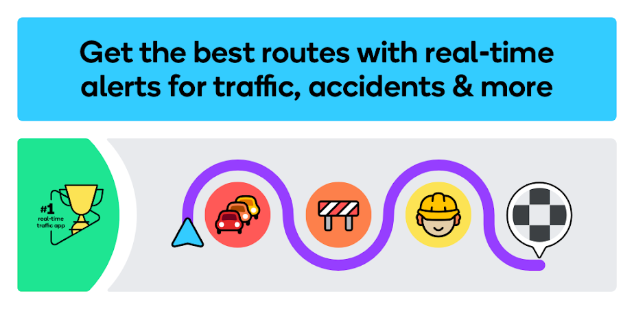
When I first opened Waze for a routine drive, its central idea was easy to understand: help drivers respond to what is happening on the road now. It offers turn-by-turn GPS directions, live traffic updates, estimated arrival times, and rerouting based on traffic, incidents, and closures. That makes it a natural fit when a daily route is familiar but the conditions around it are not.
The community angle is part of the appeal. Drivers can report incidents and hazards, and Waze can alert you to things such as roadworks, crashes, potholes, objects on the road, and bad weather. It also includes information about police and speed or red-light cameras. I’d treat these as prompts to stay attentive, not as a reason to stop watching the road or assume every report will match the situation in front of me.
I also appreciate the practical driving details. Waze provides multi-lane guidance, upcoming speed-limit information, and toll pricing, with an option to avoid tolls. It can find fuel stations, fuel prices, EV charging stations, and parking near a destination. These extras make more sense on a drive than during armchair research, though some features may not be available in every country.
Useful when plans change
What stands out for a commuter is the combination of live conditions and route adjustment. If I’m heading to work and traffic changes, Waze is built to update the route rather than simply show the plan I started with. It can also estimate arrival times for future departure or arrival times, which gives it a planning role before the drive. Still, its strongest use is navigation while a trip is underway.
MapQuest suits planned, multi-stop drives
MapQuest is a good fit when I want to think through a journey before setting off. Along with driving directions, it offers walking directions, traffic updates, alternate routes, and route settings for avoiding highways or toll roads. A useful difference from a commute-first approach is that I can create a route starting somewhere other than my current location, which helps when I’m planning for a pickup or an upcoming trip.
For an errand day, the multipoint routing is especially relevant: MapQuest lets you include more than one stop. I can picture using that when I have a few places to visit and want to organize the route in advance, rather than entering each destination only after finishing the last one. Favorites for saved locations such as home and work also make repeat directions easier to pull up.
MapQuest also combines navigation with nearby-place discovery. Its map layers can surface restaurants, bars, gas stations, and hotels, while other listed tools include local weather and nearby gas-price comparisons. The app describes coverage for navigation and map exploration in the United States and Canada, so its appeal is clearest for trips in those areas.
A broader trip-planning toolkit
Some of MapQuest’s extras go beyond choosing a route. The app includes hotel deals and booking, restaurant information with menus and reservations, and food ordering through OpenTable and GrubHub points of interest. It also offers access to on-demand roadside assistance. Those features may be useful if you like keeping trip tasks together, but they are not the main reason to choose it over a live-traffic-focused commuter app.
Google Earth helps you look around
Google Earth is the one I’d open when a destination is still an idea rather than an active drive. It presents high-resolution satellite imagery, 3D terrain, and buildings in hundreds of cities. Street View’s 360-degree perspectives let you look into streets and neighborhoods. That visual context can help me get a feel for a place before a visit, without asking the app to serve the same role as a live driving navigator.
I spent an evening imagining how I’d use it to inspect an unfamiliar area before choosing where to spend time. Seeing the shape of the terrain or the surrounding buildings offers a different kind of orientation from a route line and turn instructions. It is suited to exploration and map-making, too: Google Earth describes tools for creating and collaborating on immersive, data-driven maps.
That makes it a poor one-to-one substitute for Waze on a commute. The supplied description focuses on imagery, 3D views, Street View, and map creation, rather than live traffic, incident alerts, or turn-by-turn driving directions. If I need to know which way to turn during a drive, I’d choose a navigation app. If I want to understand the place itself, Earth has the clearer purpose.
The everyday trade-offs to consider
For a drive that changes with traffic, Waze offers the most directly relevant set of tools among these three. It is free on Google Play, has a 4.4-star rating from around 8.9 million ratings, and has over 500 million installs. It contains ads, though it does not offer in-app purchases in the supplied store details. Its many road alerts are useful context, but I’d keep the focus on safe driving rather than checking the screen for every update.
MapQuest is also free, has a 4.3-star Google Play rating from around 76,000 ratings, and has over 10 million installs. It contains ads and offers in-app purchases, with listed item prices ranging from $1.99 to $39.99. One practical consideration from its app details: continued background GPS use can significantly reduce battery life. That is worth keeping in mind on a long drive when navigation is running throughout.
Google Earth is free on Google Play, has a 3.8-star rating from around 3 million ratings, and has over 500 million installs. It does not contain ads or offer in-app purchases according to the provided store facts. Those figures help describe how the apps are presented, but they don’t settle which is best for a particular trip. The more useful comparison is whether you need live routing, flexible itinerary planning, or visual exploration.
Match the app to the trip
For my regular commute, I’d start with Waze when traffic, road hazards, and changing arrival times are the main concerns. Its ability to reroute and its driver-sourced alerts make it the most purpose-built choice here for a drive in progress. It can also connect to a car’s built-in display through Android Auto and work with audio apps, details that may suit a familiar daily routine.
For a road trip or a busy day of errands, I’d look at MapQuest first if I wanted to build a route with multiple stops or start from a location other than my own. Its alternate routes and options to avoid highways or tolls add useful planning choices. For someone deciding whether a destination looks worth visiting, I’d turn to Google Earth for satellite views, terrain, buildings, and Street View instead.
I wouldn’t expect one of these apps to replace the others in every situation. Waze is about adapting to the drive, MapQuest brings more itinerary tools to route planning, and Google Earth makes the world easier to inspect visually. Picking by task keeps the comparison simple: follow changing traffic, organize a trip, or look closely at the place you’re going.
Pick Waze for a daily commute where live traffic, hazard reports, and automatic rerouting matter most. Choose MapQuest when you want to arrange a drive with several stops, compare route options, or explore nearby places along the way.
Open Google Earth when your priority is seeing a destination from above or getting a visual feel for its streets and terrain. Each app has a clear sweet spot; the right one is the one that matches the stage of your trip.